
Find Elizabeth Neighbors by Block
Public Elizabeth sources can describe the physical block around an Elizabeth address, the title trail for a particular parcel, and the Elizabeth city route for civic contact. They cannot produce a complete or current list of every person associated with every door. Start with the target parcel and work outward only as far as the map, tax sheet, or defined request supports. The table distinguishes each source's purpose so an Elizabeth owner field, a tax mailing line, and a ward boundary are not treated as interchangeable evidence.
| Source | What It Shows About a Block | Access |
|---|---|---|
| NJGIN or Union County GIS | Parcel adjacency, map IDs, streets, and visible layers | Public map; select or identify individual parcels |
| Elizabeth Tax Maps | Block/lot layout, dimensions, sheets, and street relation | City tax-map PDFs; not a survey |
| Assessment list | Owner, tax mailing line, value, class, and parcel identifiers | Address, owner, block, lot, and qualifier queries |
| County Clerk deeds | Title movement and legal descriptions | Party search online from 1977; record room from 1857 |
| Board of Elections file | Potentially releasable registration data under current rules | Request to the BOE; redactions and use limits apply |
| Block Watch and ward resources | Civic-meeting and city-contact route | City Council and city-government pages |
| Library vertical files | Historical streets, clubs, institutions, and local-history leads | Appointment or remote research request |
An adjacent Elizabeth parcel owner may be a corporation, trust, estate, or person whose tax mailing line is outside Elizabeth. Treat the Elizabeth owner field as title information. It does not identify all people who may be connected with the address.
Map Elizabeth Neighbor Parcels
NJGIN Property Explorer and the Union County map route provide the geographic starting point for an Elizabeth block question. Search the target Elizabeth address or its block and lot, zoom until parcel polygons can be read, select the target parcel, and identify each adjoining polygon one at a time. Record the Elizabeth block, lot, parcel ID or PIN when visible, street frontage, corner status, and a boundary such as an alley, rail line, or water edge. Map layers are useful context, but county parcel geometry is approximate rather than a legal survey.
- Locate the Elizabeth address in the parcel viewer and confirm its block and lot against the assessment search.
- Select the target polygon, then inspect only adjoining polygons or the opposite side of the street as the question requires.
- Run each confirmed block/lot through the assessment search to identify its current listed owner and tax mailing line.
- Use the tax-map sheet and a recorded deed description to distinguish an adjoining parcel from a similarly numbered address.
- Stop at the defined block question. For a whole named street, use the Elizabeth street directory record chain instead.
Elizabeth Tax Maps provides the city index and sheet links that support the block-and-lot cross-check.
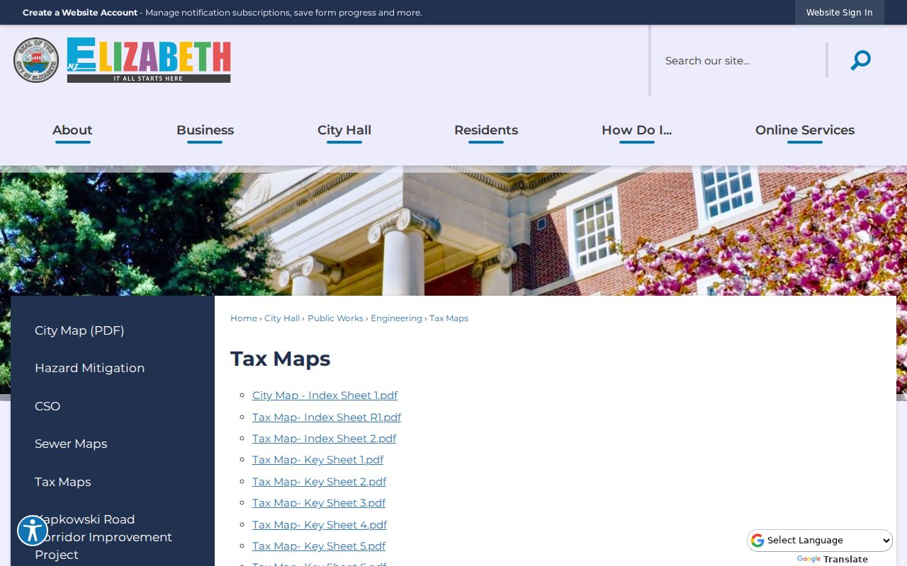
The tax-map index helps place an Elizabeth block on the correct sheet before parcel adjacency is compared with assessment data or a deed description.
Read Elizabeth Neighbor Map IDs
Block and lot are the stabilizers when an Elizabeth street has a corner parcel, a rear parcel, a lot split, or several legal interests at one number. The Elizabeth tax sheet shows the relation between lots and street frontage. The Elizabeth assessment list carries the corresponding owner and mailing fields. The Clerk's land record supplies the legal description. None of those Elizabeth sources should be used alone to declare that two addresses share a block edge.
An Elizabeth parcel is a mapped unit of land. An Elizabeth situs address is the physical location of that parcel. An Elizabeth tax mailing address is only where correspondence is sent. The legal description is the recorded land description, often tied to block, lot, qualifier, and sometimes other parcel wording. Keep these labels separate in notes. They resolve many apparent conflicts without guessing which line is a current home address.
- Adjoining parcel
- A parcel that shares a boundary with the target parcel, confirmed from the map and legal description.
- Block and lot
- The Elizabeth tax-map identifiers used to distinguish the land unit from a street number alone.
- Qualifier
- An added tax identifier that can separate interests or units associated with the same basic block and lot.
- PIN
- A parcel identifier that NJGIN says may match PAMS where it is available.
Request Elizabeth Block Voter Data
New Jersey's public voter-status tool is not a block roster. The live status page returned HTTP 403 during research, so its current search fields and results were not verified. Use the official tool for an individual status question, then turn to the Union County Board of Elections for a narrowly described request. Ask whether a current ward, district, or precinct record can be released and what fields, format, redactions, charge, and permitted-use certification apply.
Elizabeth registration and election records have specific protections. Do not seek signatures, identification numbers, full birth details, or protected addresses. Ballot choices are never public. An Elizabeth status result or election geography cannot prove that every person associated with a block lives there now. An Elizabeth non-match can also reflect a move, a name change, an inactive record, a protected address, or a live-portal limitation.
Note: The county polling route can translate an address into ward and district information, but it does not disclose a full block list.
Use Elizabeth Ward Contacts
Elizabeth has a verified civic route through Block Watch meetings and City Council ward materials. The Elizabeth research did not find an official citywide directory of neighborhood organizations or any public membership roster. That negative finding matters. Use the Elizabeth ward map and city contact route to learn about civic meetings or the right municipal office, not to infer affiliation or membership for people on a block.
| Elizabeth civic resource | Use for a block question | Contact or access |
|---|---|---|
| City Council and City Clerk | Ward map, council context, and municipal-record handoff | City Council page; 50 Winfield Scott Plaza, Room 105; 908-820-4131 |
| Block Watch route | City-promoted civic meeting route and local coordination context | Elizabeth city-government and council resources |
| Historical Society of Elizabeth | Preservation and older neighborhood or institution research lead | Historical Society of Elizabeth |
| Elizabeth Public Library Local History Room | Bounded requests for clippings, programs, and historic street context | Appointment or remote research form; fee applies |
Elizabeth City Council posts the ward map and city civic route used to place a block in its local government context.
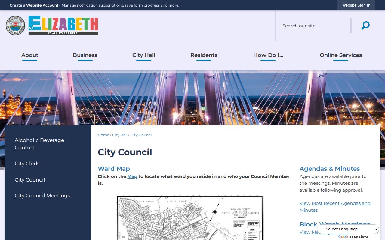
The ward map adds Elizabeth election and civic geography. It is not a directory of people, associations, or participating households.
Place Elizabeth Blocks in Context
Bayway, Elizabethport, Elmora, Union Square, and Midtown are useful Elizabeth place names when a historic source describes a block more clearly than a modern search field. They are Elizabeth research context, not fixed boundaries for an individual parcel. Use the current Elizabeth tax map for land, the ward map for civic geography, and the original source year for a historical name. An Elizabeth city with varied spellings and multilingual family names also benefits from checking initials, soundex, accents, and former-name forms before matching a directory entry.
The Elizabeth Public Library vertical-file index can point to material on cemeteries, the Post Office, train station, Elks Club, Masonic Temple, churches, historic companies, and the courthouse. Ask for a precise Elizabeth clipping, program, newsletter, or anniversary-book citation rather than a broad personal file. Present-day membership information is not a public block source.
The Historical Society of Elizabeth is the local preservation contact for city-history research and related collection leads.
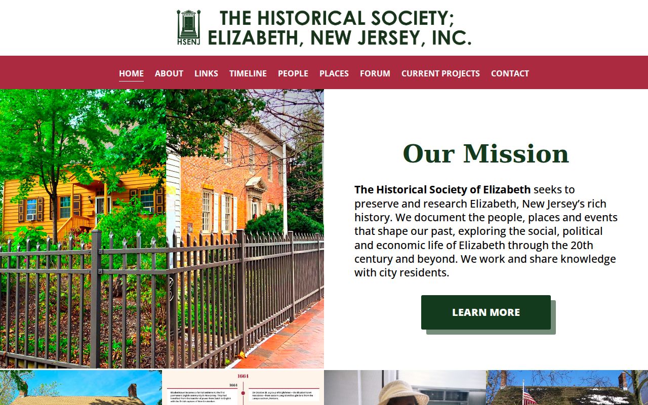
For an Elizabeth block with an older street reference, a preservation contact and a dated library source can help bridge the map without turning history into a current-person claim.
Compare Elizabeth Neighbor Sources
Official Elizabeth records and commercial neighbor categories serve different purposes. Official map, assessment, deed, and election routes identify their custodian and limits. Commercial compilations may mix property, marketing, and public-record material, then infer relationships without showing a current source. Neither category overcomes protected Elizabeth addresses, sealed files, restricted motor-vehicle data, or the absence of utility and delivery registers.
| Source type | Useful block value | Important limit |
|---|---|---|
| Official map and tax rolls | Parcel, block/lot, title holder, and annual tax fields | Owner and tax mail do not equal a complete current household |
| Official deed and election routes | Recorded title chronology or properly released election information | Party-based deed search and statutory election redactions limit results |
| Commercial neighbor categories | May surface a lead for independent verification | Can be stale, conflated, incomplete, paywalled, or unclear about sources |
Use the official Elizabeth chain to verify one parcel fact at a time. If a date, owner, or boundary conflicts, return to the document custodian rather than averaging claims from several screens.
Trace Elizabeth Block History
A map can show the physical change of an Elizabeth block over time. Princeton's Sanborn selection has Elizabeth years from 1889 through 1923, and the Library of Congress identifies Elizabeth criss-cross material for 1954 and 1956 through 1959. Elizabeth Sanborn sheets can show building footprint, material, stories, use, and nearby industrial or transportation features. Criss-cross volumes can provide a dated Elizabeth street-and-number listing. Neither source establishes who is at an address today.
For a pre-1977 Elizabeth land question, the County Clerk record room holds transactions from 1857 even though the online land index begins June 1, 1977. Documents before January 1986 may have an imaging gap. Carry the Elizabeth block/lot, parties, date range, and instrument or book/page clue to the record room. That keeps an old map reference connected to the same Elizabeth parcel.
Protect Elizabeth Neighbor Privacy
An Elizabeth block map has firm limits. It does not expose utility accounts, mail delivery records, motor-vehicle addresses, sealed material, or every household member. An Elizabeth title holder may be a corporation, trust, estate, or nonresident. The New Jersey Address Confidentiality Program supplies eligible participants with a substitute address, and Daniel's Law can require redaction of qualifying people from government records. An Elizabeth missing or altered line can be the correct legal result.
Do not try to reverse a substitute address through parcel adjacency, civic contacts, or historical sources. Use the map and records only for a bounded, lawful question about property, local history, or civic geography. The public character of a record does not authorize pressure, monitoring, or publication of private contact details.
Lawful personal use. Elizabeth block records are for limited personal, civic, and historical research. N.J.S.A. 2C:12-10 and 2C:33-4 prohibit stalking and harassment; do not use a neighbor search to watch, intimidate, or harm anyone.